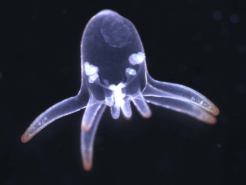
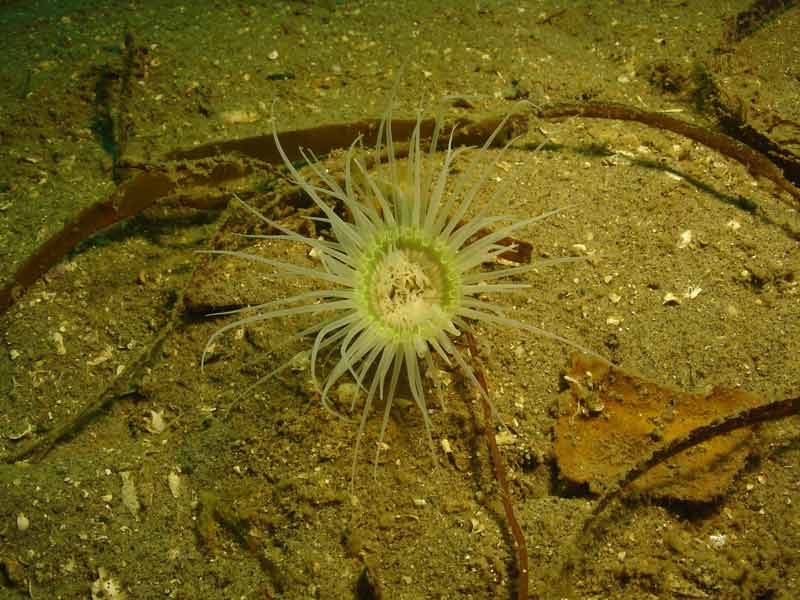
North Sea tube anemone (Synarachnactis lloydii)
Distribution data supplied by the Ocean Biodiversity Information System (OBIS). To interrogate UK data visit the NBN Atlas.Map Help
| Researched by | Penny Avant | Refereed by | Admin |
| Authority | (Gosse, 1859) | ||
| Other common names | North Sea cerianthid | Synonyms | Synarachnactis bournei Gosse, 1859 |
Summary
Description
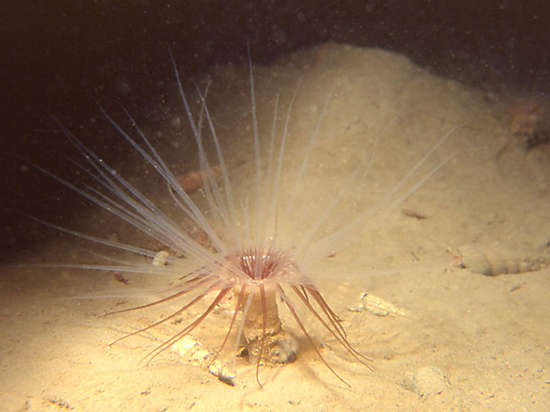
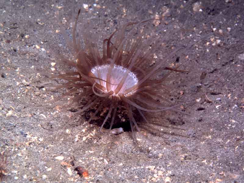
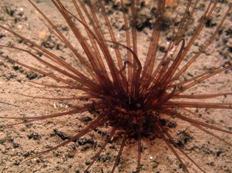
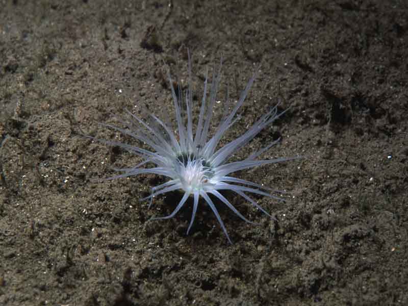
Cerianthus lloydii is a brownish, tube-dwelling anemone up to 15 cm long. The mouth and tentacles project above the surface of the sand from the soft tube, which can be up to 40 cm long and is permanently buried. There are about 70 long tapering tentacles that may be brown, green or white and are often banded with darker brown. These tentacles cannot be fully retracted and surround many smaller inner tentacles that obscure the mouth. However, the animal can retract into its tube if disturbed.
Recorded distribution in Britain and Ireland
Recorded all around the coast of Britain, except on the east coast between the Tees estuary and The Wash. It may be locally abundant in some places.Global distribution
Found around all western coasts of Europe from Greenland and Spitzbergen, south to Brittany.Habitat
Adults live permanently in tubes that are buried in sand, mud or gravel, from LWST to about 100 m depth.Depth range
-Identifying features
- A tube-dwelling anemone with a brownish body up to 15 cm long.
- The mouth and tentacles project above the sand from the deeply buried tube.
- Many short inner tentacles obscure the mouth. Disc surrounded by about 70 long tapering tentacles, which may be brown, green or white and are often banded with darker brown.
Additional information
-none-Listed by
- none -
Bibliography
Bruce, J.R., Colman, J.S. & Jones, N.S., 1963. Marine fauna of the Isle of Man. Liverpool: Liverpool University Press.
Hauton, C., Hall-Spencer, J.M. & Moore, P.G., 2003. An experimental study of the ecological impacts of hydraulic bivalve dredging on maerl. ICES Journal of Marine Science, 60, 381-392.
Hayward, P., Nelson-Smith, T. & Shields, C. 1996. Collins pocket guide. Sea shore of Britain and northern Europe. London: HarperCollins.
Hayward, P.J. & Ryland, J.S. (ed.) 1995b. Handbook of the marine fauna of North-West Europe. Oxford: Oxford University Press.
Howson, C.M. & Picton, B.E., 1997. The species directory of the marine fauna and flora of the British Isles and surrounding seas. Belfast: Ulster Museum. [Ulster Museum publication, no. 276.]
JNCC (Joint Nature Conservation Committee), 1999. Marine Environment Resource Mapping And Information Database (MERMAID): Marine Nature Conservation Review Survey Database. [on-line] http://www.jncc.gov.uk/mermaid
Manuel, R.L., 1988. British Anthozoa. Synopses of the British Fauna (New Series) (ed. D.M. Kermack & R.S.K. Barnes). The Linnean Society of London [Synopses of the British Fauna No. 18.]. DOI https://doi.org/10.1002/iroh.19810660505
Picton, B.E. & Costello, M.J., 1998. BioMar biotope viewer: a guide to marine habitats, fauna and flora of Britain and Ireland. [CD-ROM] Environmental Sciences Unit, Trinity College, Dublin.
Datasets
Centre for Environmental Data and Recording, 2018. Ulster Museum Marine Surveys of Northern Ireland Coastal Waters. Occurrence dataset https://www.nmni.com/CEDaR/CEDaR-Centre-for-Environmental-Data-and-Recording.aspx accessed via NBNAtlas.org on 2018-09-25.
Fenwick, 2018. Aphotomarine. Occurrence dataset http://www.aphotomarine.com/index.html Accessed via NBNAtlas.org on 2018-10-01
Fife Nature Records Centre, 2018. St Andrews BioBlitz 2015. Occurrence dataset: https://doi.org/10.15468/xtrbvy accessed via GBIF.org on 2018-09-27.
Isle of Wight Local Records Centre, 2017. IOW Natural History & Archaeological Society Marine Invertebrate Records 1853- 2011. Occurrence dataset: https://doi.org/10.15468/d9amhg accessed via GBIF.org on 2018-09-27.
Manx Biological Recording Partnership, 2022. Isle of Man historical wildlife records 1990 to 1994. Occurrence dataset:https://doi.org/10.15468/aru16v accessed via GBIF.org on 2024-09-27.
NBN (National Biodiversity Network) Atlas. Available from: https://www.nbnatlas.org.
OBIS (Ocean Biodiversity Information System), 2025. Global map of species distribution using gridded data. Available from: Ocean Biogeographic Information System. www.iobis.org. Accessed: 2025-08-08
Citation
This review can be cited as:
Last Updated: 24/04/2008

